Block Schedule
What is a “Block"?
Great question! We tend to think of the JIRP Undergraduate Course as a series of two-week blocks with defined academic and safety goals. As with a toy block structure, you need to build a strong foundation before you add on more material. The first few weeks on the Icefield build a foundation of safety skills before we transition into academics and research.
Students and staff are on the Icefield for the entire eight-week course. In contrast, a new group of faculty cycles in and out the Expedition for each block. The information below is geared a little more towards faculty, who will be planning activities to complement the arc of the summer. This information complements the Student Curriculum and Big Picture pages.
Student Orientation: Atlin & Juneau
Students spend five or six days getting orientated to JIRP in beautiful Atlin, BC. The safety staff cover basic backcountry travel skills such as how to pack a backpack; how to layer in a rainy, temperate environment; hydration and nutrition; and blister care. Students do individual gear checks with staffers and start familiarizing themselves with how new equipment works. The whole group does some warm-up day hikes. Faculty deliver the first set of introductory academic lectures.
Additionally, if you’re traveling from far away, Orientation Week can be a good time to get over jetlag, organize research and personal equipment, and generally get your feet under you before heading up to the Icefield.
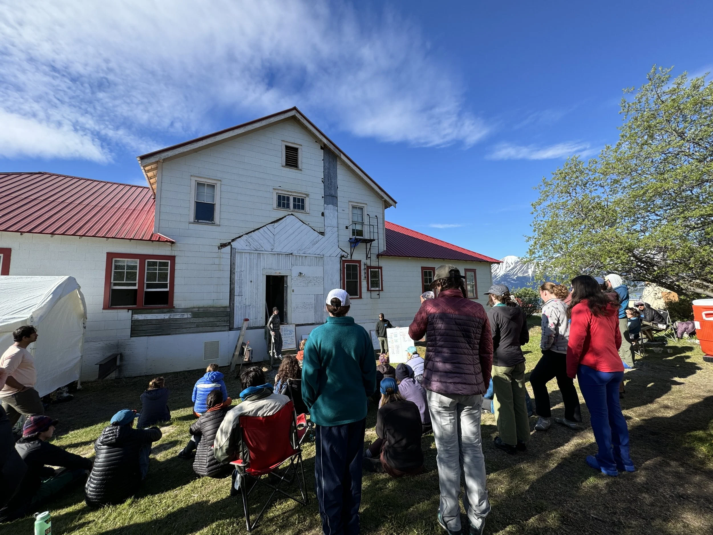
After 5 days in Atlin, the whole group takes a bus to Skagway, Alaska, followed by a ferry to Juneau. We spend 2-3 days in Juneau running last minute errands, doing some sightseeing around town, and preparing for the big hike up Blackerby Ridge.
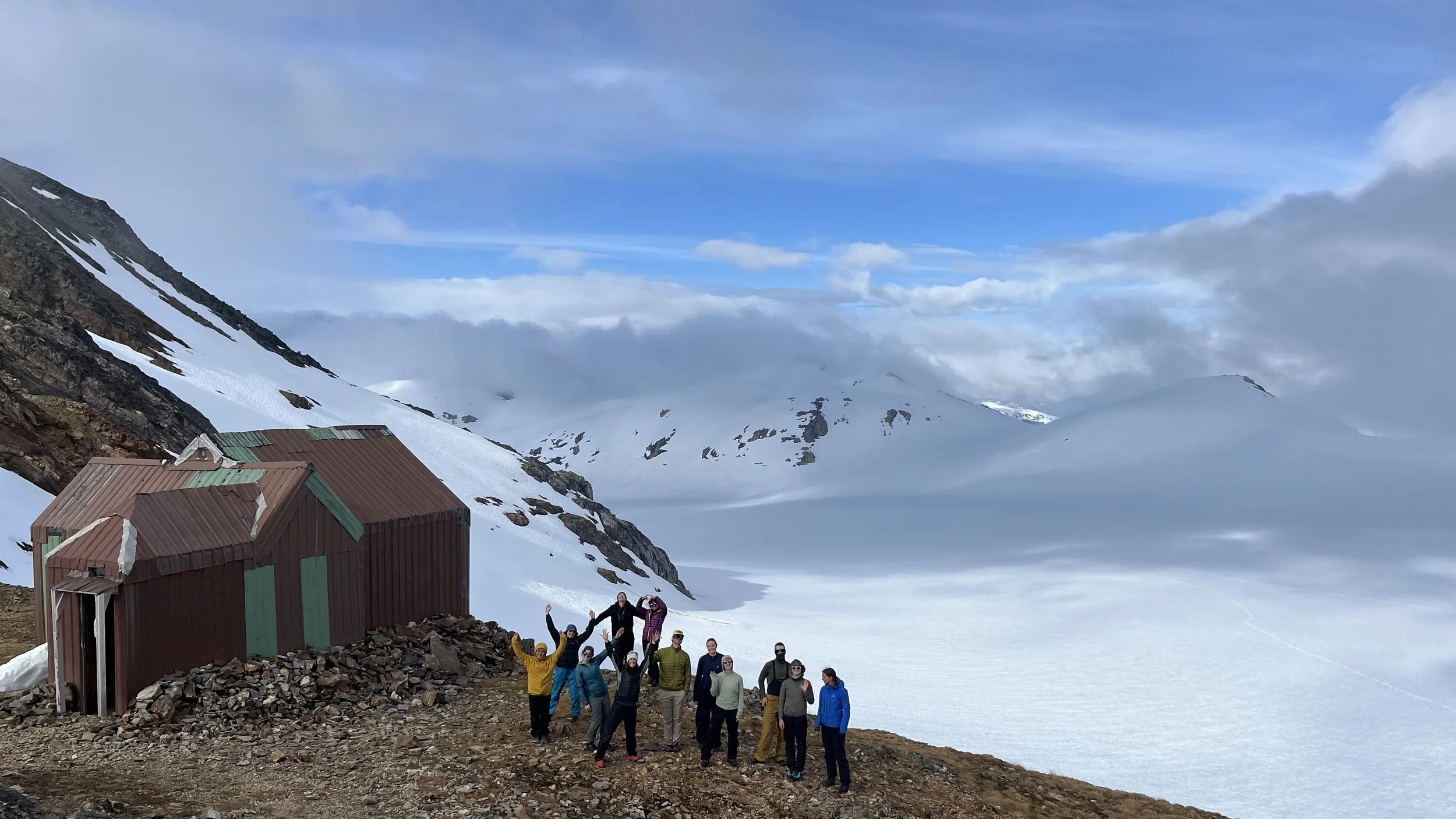
Block 1: Camp 17 (Safety Training)
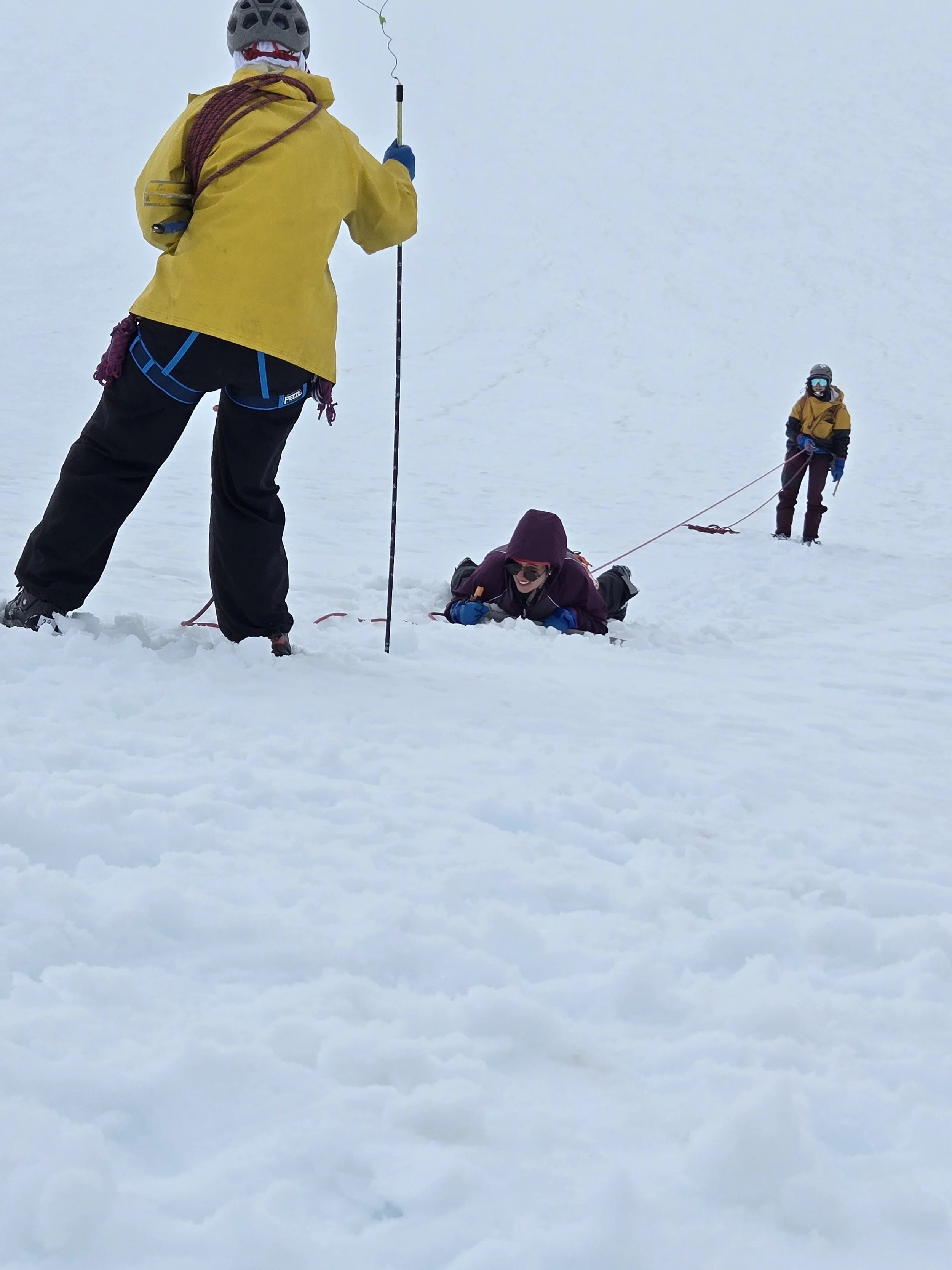
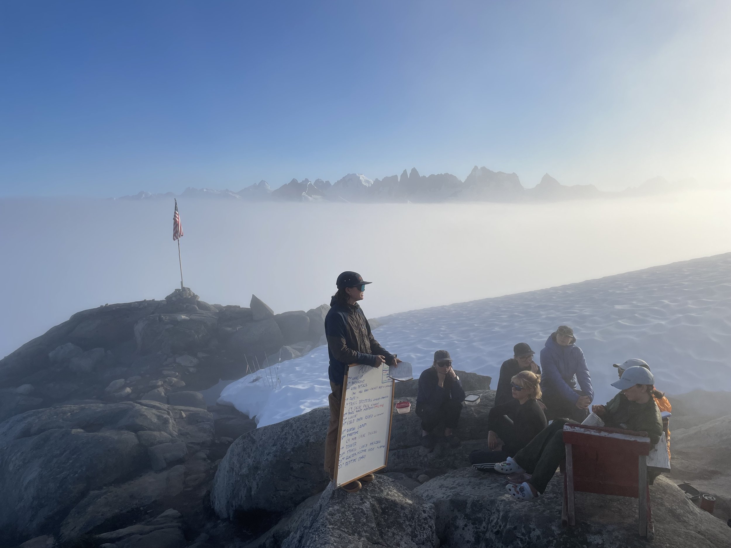
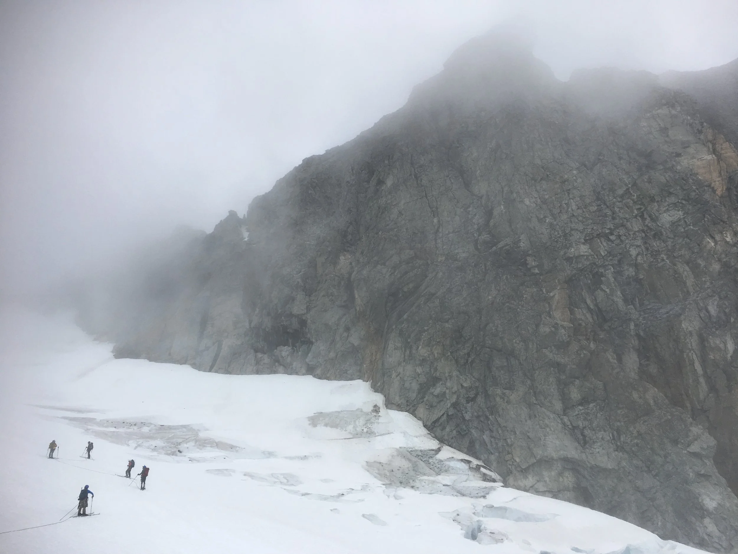
The first 10-14 days on the Icefield are dedicated to safety training for all students and any new faculty who elect to participate. The JIRP safety staff fill every day with a series of camp orientations (cook crew, work detail, bunkhouse etiquette, etc.), general Icefield protocols surrounding risk management and communication, and skiing and mountaineering skills. Skiing lessons are divided by levels and students have the opportunity to change groups every day depending on their progress. Safety staffers teach the basics of glacier mountaineering in small groups so everyone can comfortably cover harness use, rope skills, anchor building, crevasse rescue, and route finding. Faculty deliver lectures and workshops focusing on fundamentals in glaciology and Arctic systems science; faculty members are also encouraged to join some safety skills training.

We spend as many hours as possible on the glacier every day so that everyone becomes accustomed to working in the sun, rain, wind, and fog, but we are almost always within a short, safe hike of camp. Using a combination of short lectures, group practice, and one-on-one mentorship, the staffers work with participants to develop basic mastery of all necessary skills. To read more about the safety curriculum, check out the Student Curriculum page.
Towards the end of Block 1, some students will have learned safety skills to a satisfactory level ahead of the rest of the group. For a few days these students will assist with limited research needs on the Lemon Creek Glacier. Relative to the other Blocks, there is less time for academic content, and even fewer hours available for field trips not focused on skill-building.
The Place
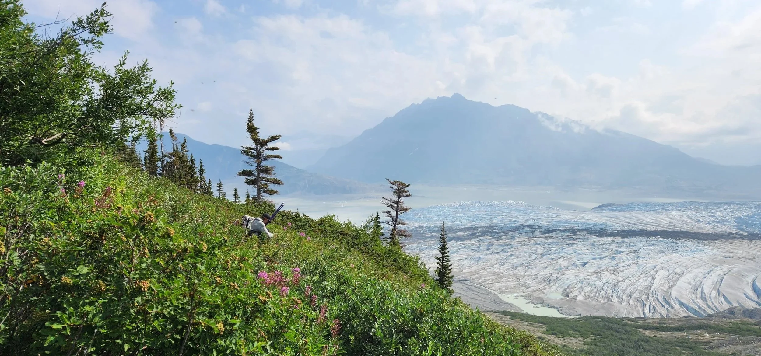
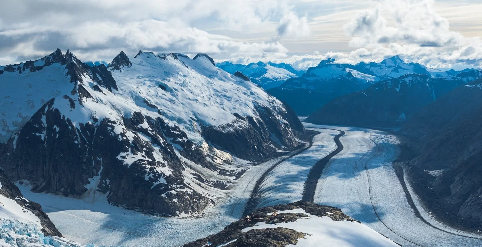
Camp 17 is located on a ridge between Ptarmigan Glacier and Lemon Creek Glacier, and at a col between Vesper Peak and Cairn Peak. The Lemon Creek Glacier is a fantastic field site for academic activities that benefit from being able to consider the entire watershed. The entire glacier is accessible from Camp 17, its mass balance has been consistently monitored for decades, and the stream that drains the watershed, Lemon Creek, is well monitored by the USGS.
Lemon Creek Glacier also hosts Lake Linda, a supraglacial lake that often drains (probably subglacially, although this is up for debate) in late June or early July. Lake Linda has long been the subject of academic discussion at Camp 17 and invites further inquiry.
The surrounding mountains and ridges are often great field sites to do small-scale ecology, botany, and dendrochronology academic activities. Many of these sites are close to camp and present relatively un-technical objectives from a safety perspective.
Logistics & Traverse Section
Camp 17 is the easiest Icefield camp to access. The helicopter trip takes only 5-10 minutes, but even so we save this option for groceries and supplies. Students, faculty, and staff are expected to hike between Juneau and Camp 17. The trip, depending on the route, is 8-10 miles, covers 5000 ft/1500 m of vertical elevation, and generally takes 6-12 hours (depending on the route and the pace of the group). The end of Block 1 is marked by the two-day ski & hike traverse from Camp 17 to Camp 10, in the middle of the Icefield.
Block 2: Camp 10 (middle of the Icefield)
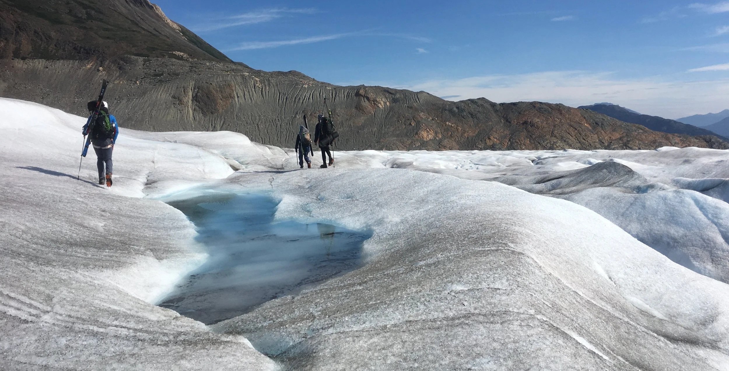
At Camp 10, the JIRP student program transitions from what we’ve traditionally called “the Institute” - training, training, training - to “the Expedition” - when emphasis shifts to academics and science research. While safety staff still accompany all trail parties and continue to train students in glacier travel and mountaineering, we begin to expect every student to take a more proactive role in making the Expedition happen. Because the team is functioning at a fairly efficient level, we can dedicate most of every day to academics and fieldwork. During this block, the mass balance teams start digging snow pits and collecting data across the Taku Glacier and its tributaries, a geomatics team usually starts measuring the flow of the Taku Glacier, and other field experiences often include isotope geochemistry, glacier geophysics, nunatak ecology.
The Place
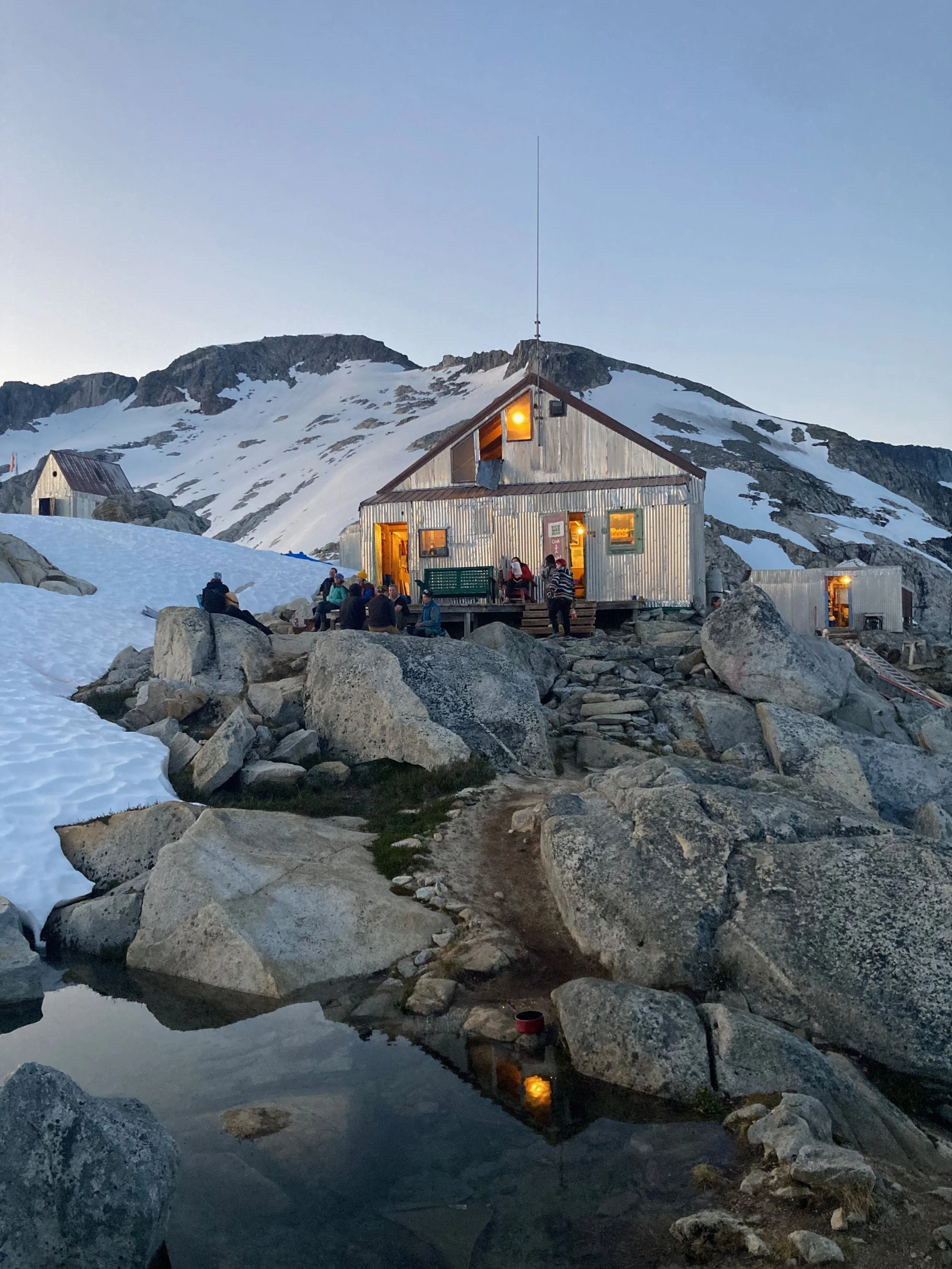
Camp 10 is our biggest camp (it sleeps over 60 people) and has the easiest access to a wide variety of glacial sub-environments. Taku Glacier, the deepest alpine glacier in the world at over 1500 m in the middle and fed by a series of large tributary glaciers, presents ideal field sites for mass balance pits, snowpack research, and strain analyses where the ice flow from different branches merge. A series of vegetated nunataks offer a variety of options for ecology research, and access to head of the deglaciated and forested Avalanche Canyon offers a standpoint for examining glacial geomorphology and more questions about ecology. Finally, two glacial lakes, one subglacial on the north side of camp and the other supraglacial on the south side of camp, present opportunities for a host of glacial hydrology inquiries.
Logistics & Traverse Sections
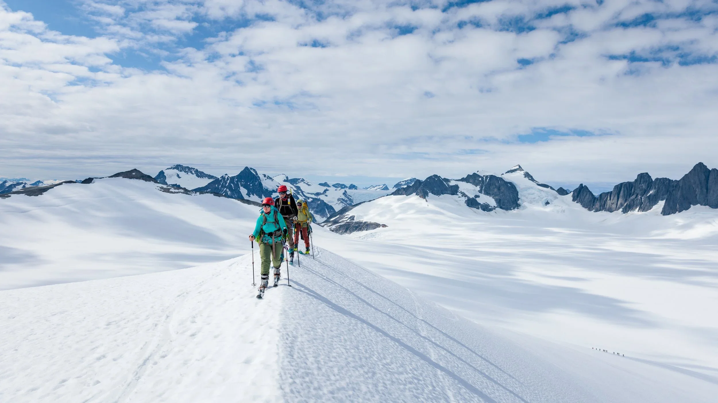
Camp 10 is a twenty-minute helicopter trip from Juneau. Block 2 faculty fly in directly to Camp 10. The end of Block 2 is marked by the ski traverse from Camp 10 to Camp 18 (the “High Ice”). The ski is 18 miles, covering terrain that is mostly flat or gently sloping uphill. There are a few sections that may require technical route finding and/or roping up - we will teach all the skills required to complete this trip. Block 2 faculty will fly out of Camp 18 after completing the Camp 10 to Camp 18 traverse.
Block 3: Camp 18 (The “High Ice”)
During Block 3, the program’s focus is on advanced academic concepts, technical mountaineering objectives, and student research projects. Research at Camp 18 explores the geomorphology of the Gilkey Trench, the high accumulation zone, nearby nunataks, and the ice flow dynamics of the Matthes-Llewellyn Divide. Mountaineering training at Camp 18 focuses on nearby peak ascents, a culmination of all the technical and team management skills of the summer, and the ever-popular crevasse exploration. Students also conduct research projects in small teams and practice their skills in science communication by sharing their findings with other groups.
The Place
Camp 18 is, without compare, the most dramatic of the JIRP camps. Perched on the Cleaver, a bedrock promontory rising vertically 2000 ft./ 600 m from the Gilkey Trench, this camp offers unrivaled views of the ice dynamics of the Vaughan Lewis Icefall, the ogives of the Gilkey Trench, and the geomorphology of the walls of the trench as the surface of the Gilkey Glacier lowers. Additionally, a moderate ski out of camp leads trail parties to the upper reaches of the Matthes and Llewellyn Glaciers and the Divide between the two.
Logistics & Traverse Section
Camp 18 is a 45-minute helicopter ride from town. Because of this, Camp 18 is the most expensive full-size camp to fly to and to supply. Additionally, bunkspace is somewhat limited in camp (capacity is closer to 55), and the main glacier access is a 30-45 minute ski from camp (adding up to two hours to every day when all is said and done). Block 3 faculty fly directly to and from Camp 18 and Juneau. In uncommon, weather-related circumstances, Block 3 faculty may fly into Camp 10 and traverse with the program to Camp 18.
Block 4: Camp 26 & Atlin
Block 4 is different from Blocks 1-3 in that it’s mostly not on the Icefield. This block includes the traverse from Camp 18 to Camp 26, one or two days at Camp 26, and the traverse from Camp 26 to the shore of Atlin Lake. The program concludes with a five-day wrap-up in the town of Atlin, where the program began. By the end of the program, participants will have completed a full circle: starting in Atlin, traveling to Juneau, traversing across the Icefield to Atlin Lake, and ending up back in Atlin again.
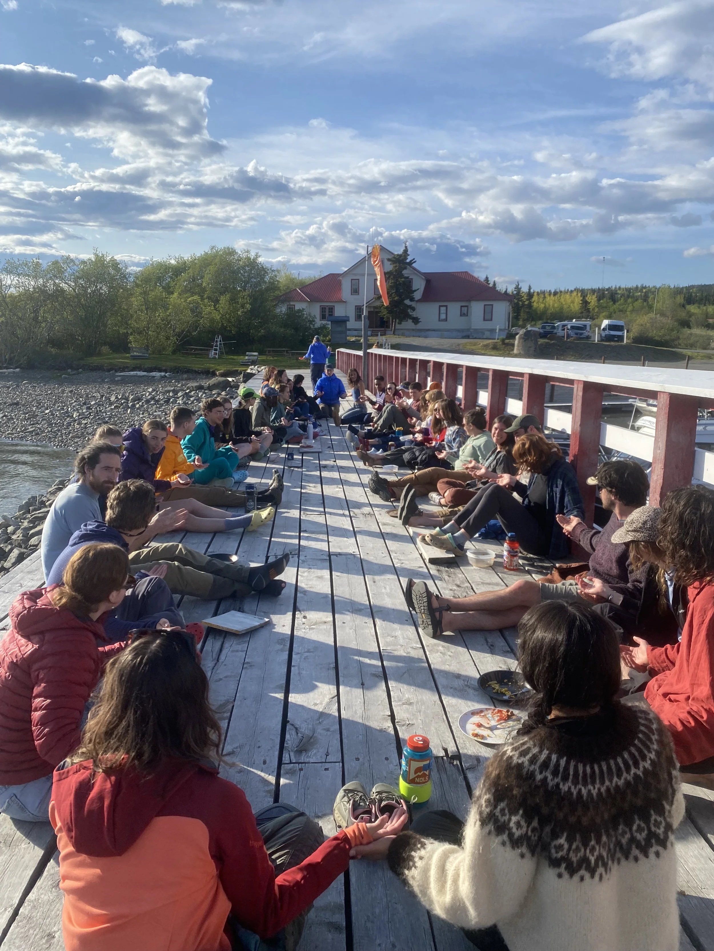
Aside from the traverse, Block 4 focuses on questions of glacier hydrology, postglacial and glacier-adjacent ecological processes, and community/downstream impacts of glacier change. In Atlin, students will give lightning presentations to each other and to the community of Atlin, wrap up the academic portion of the program, and reflect on their time with JIRP.
The Place: Camp 26
Camp 26 is on the nunatak of Corona Peak, directly above the blue ice of the Llewellyn Glacier. Below camp, most years, are a series of glacial caves. On the nearby glacier we get the best view of supraglacial streams and (at some distance from camp) moulins of the field season. Camp 26 is a small camp that is relatively complicated to supply. Because helicopters cannot land across the international border and we have a limited field support in Atlin, we supply Camp 26 via snow machine and hiking from Camp 18. Food, supplies, and equipment are snow machined down to the snowline on the Llewellyn, and then everyone working out of Camp 26 packs everything the final 4-8 miles to camp. The camp itself sleeps up to nine staff and faculty and ten students comfortably.
Logistics & Traverse Section
Block 4 faculty fly into Camp 18, then complete the traverse to Camp 26 and then to Atlin with the program. The first day of the traverse section begins at Camp 18 with several hours of skiing over flat, uphill, and gentle downhill terrain. Depending on snow conditions, participants may have to rope up through technical sections. At snowline, trail parties will switch from skis and ski boots to mountain boots and microspikes or crampons to hike on the blue ice. There are several hours of hiking on blue ice and bare ground to reach Camp 26.
After a rest day at Camp 26, participants will spend a full 12+ hour day hiking over blue ice, bare bedrock, proglacial outwash plain (loose rock/talus), through several often-flooded creek beds/swampy areas, bushwacking through dense willows, and finally through mixed forest to the southern shore of Atlin Lake. This hike is physically strenuous: the terrain is highly variable, participants must carry their skis on their packs (which causes some frustration going through the dense willows), and the dynamics of the proglacial zone frequently create quicksand, flooding, and trail washouts. Participants spend the final night camping on the shore of Atlin Lake. We do not carry tents for this section, so participants will bivouac (under tarps if it’s raining). For the last leg of the traverse, a small boat will pick participants up and transport them several hours to the JIRP facility in Atlin.
Finally, the Expedition crosses the international border during this block, so all participants need a valid passport. Participants from outside Canada and the U.S. may need additional visas. Researching and securing these visas is the individual’s responsibility.