
Advanced Methods Course: Research
Hands-on Field Research Methods Training
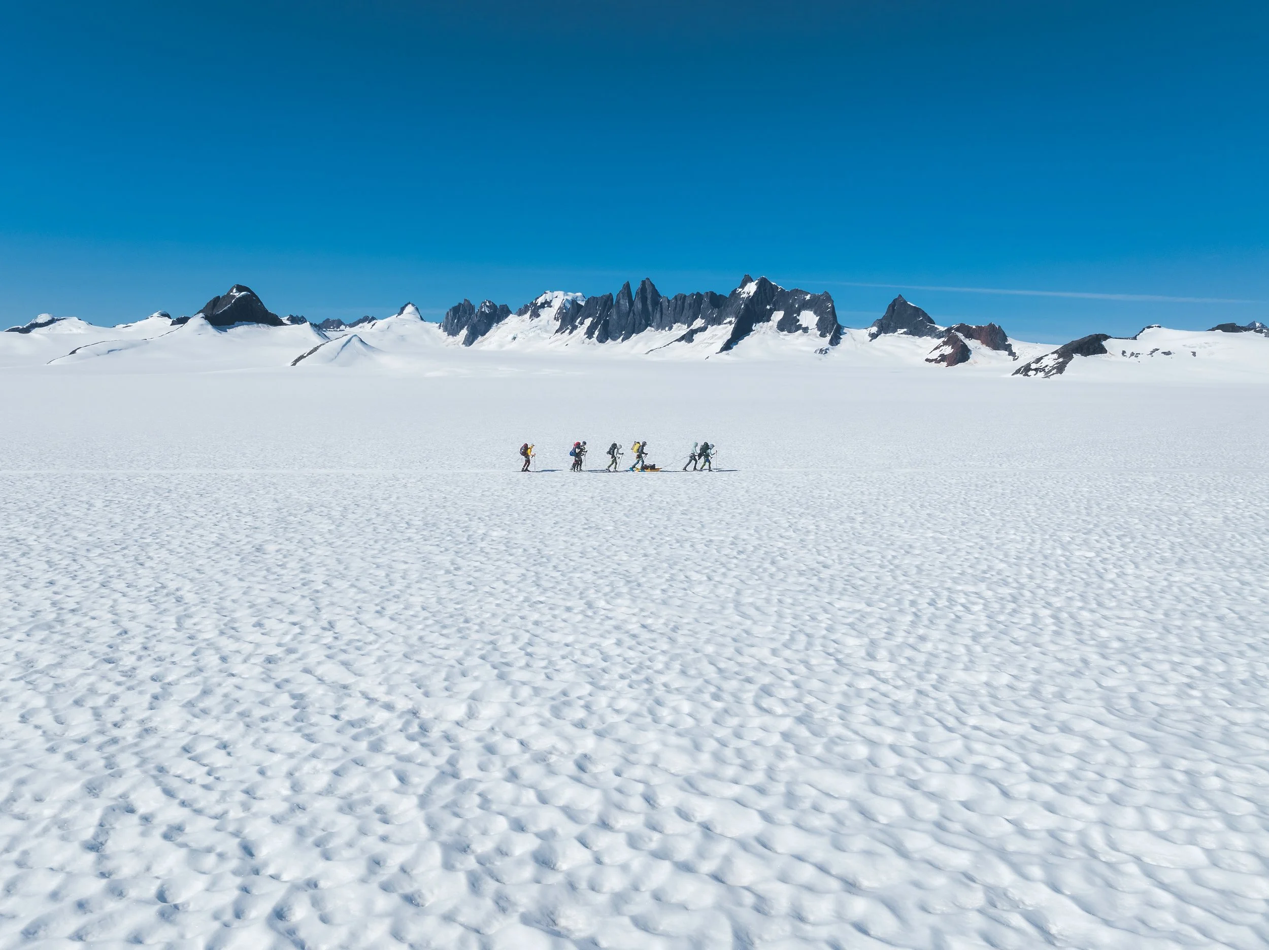
Graduate student participants will work with research teams conducting ongoing projects on the Juneau Icefield, contributing directly to data collection and analysis. Research topics span many polar science-related fields, including glaciology, geochemistry, geophysics, atmospheric science, microbiology, geomorphology, and engineering. Students are encouraged to explore a range of topics during their time with the Course.
Ongoing Research on the Juneau Icefield
Ongoing research on the Juneau Icefield focuses on understanding wet snowpacks and how changes in snow and ice influence land stability, meltwater storage, and water flow on the Icefield. This research is collaborative with teams from the University of Maine, the University of Alaska Fairbanks, University of Alaska Southeast, University of Colorado Boulder, and University of Portland, among others. By measuring snow depth, density, porosity, and water content, the work improves models that predict how wet snow and melting ice affect hazards such as ground instability and downstream impacts.
Other geophysical equipment and data collection efforts on funded projects include collecting field data using snow pits and cores, ground penetrating radar, terrestrial radar interferometry, airborne LiDAR, and a range of acoustic, electrical, and electromagnetic instruments.
The science also includes testing and validating emerging geophysical tools and combining field observations with modeling and machine learning. These approaches are used to link surface measurements to physical snow and ice properties, providing strong training in field methods, geophysics, data analysis, and modeling for students interested in snow science, glaciers, natural hazards, and climate change.
Possible Project Topics
Snow and firn evolution: Use a ground-penetrating radar, terrestrial radar interferometry, LiDAR, snow pits, isotope chemistry, and snow/firn cores to measure seasonal and annual changes to snow and firn across the Icefield.
Glaciology and glacier hydrology: Use deep-penetrating radar systems and a hot water drill to measure ice thickness and englacial/subglacial topography and properties.
Polar geophysics: Use geophysical instruments such as seismics, radar, distributed acoustic sensing, UAV/Drone LiDAR and multispectral surveys to measure changes to glaciers and the landscape.
Microbiology: Use a hot water drill to reach from surface to bed at depths of 300-400 m to sample for life beneath the ice surface and possibly in sub glacial lake environments.
Landscape evolution: Use LiDAR, terrestrial radar interferometry, and remote sensing to measure Icefield retreat and dynamic landscape changes.
Atmospheric sciences: Set up weather stations across the Icefield to link atmospheric conditions to near surface processes related to snow, ice, and landscape evolution.
Polar sensors research and development: Test new equipment and sensors for various applications in Earth sciences and cryosphere research.